Overview
Splinters of green and white set in azure seas, the Cook Islands total just 240 square kilometres scattered across 1.8 million square kilometres of Pacific Ocean. The principal island, Rarotonga, lies a full 1,140 km from the remote Pukapuka atoll in the north.
Cruising is in two groups: the accessible Southern Group, taking in Rarotonga, the spectacular Aitutaki lagoon, Atiu and Palmerston; and the far-flung Northern Group of atolls such as Suwarrow, Penrhyn and Manihiki, true blue-water cruising.
Once famous for wood carving, the islands' most notable craft today is tivaevae, the island patchwork quilt, alongside a thriving contemporary art culture. For visiting yachts, superb snorkelling, diving and fishing are the main draws.
Islands & Map
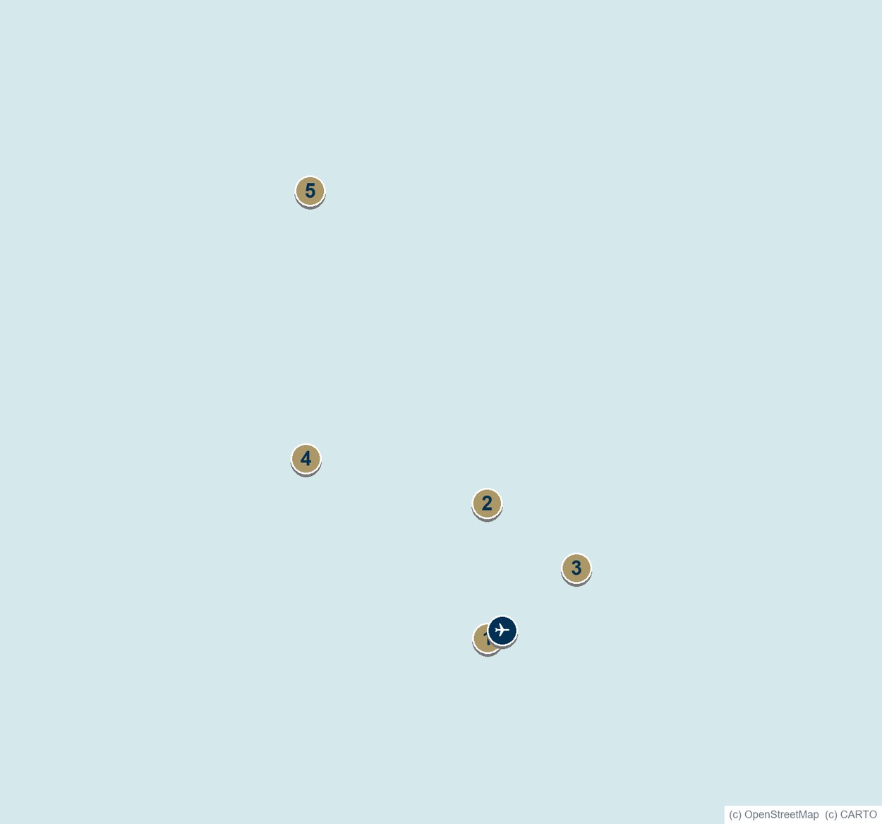
Map Key - Islands & Anchorages
- Rarotonga (Avatiu Harbour, port of entry)
- Aitutaki
- Atiu
- Palmerston
- Suwarrow (Northern Group)
✈ Rarotonga International Airport
Northern Group ports: Manihiki, Penrhyn, Pukapuka.
Getting There & Clearance
Clearance
Clearance is handled by the Ministry of Foreign Affairs and Immigration and the Cook Islands Ports Authority. Ports of entry are Avatiu Harbour (Rarotonga), Aitutaki and Atiu in the south, and Manihiki, Penrhyn and Pukapuka in the north.
Government Contacts
Immigration & Customs: mfem.gov.ck
Ports: ports.co.ck
International Airports
Rarotonga International · Aitutaki · Atiu · Mangaia · Mauke.
Key Anchorages
Avatiu & Avana (Rarotonga) · Arutanga (Aitutaki) · Palmerston · Suwarrow · Penrhyn.
Local Services
Yacht Registry
Maritime Cook Islands
Yacht Club
Cook Islands Yacht Squadron (Muri, Rarotonga)
Tourism
Cook Islands Tourism Corporation
Diving
Dive Rarotonga
Ship Registry
Maritime Cook Islands
Currency
NZ Dollar & Cook Islands Dollar
APSA Grand Tour: Cook Islands
Katrina Matheson of Maritime Cook Islands leads APSA's Grand Tour of the Cook Islands, from the Rarotonga and Aitutaki lagoons to the registry that flies on yachts worldwide.