
Overview
Some 600 nautical miles east of the Philippines, Palau is the furthest west of the Pacific islands. The three principal islands - Koror, Babeldaob and Peleliu - lie within a single barrier reef, which also contains Palau's most famous sight: the Rock Islands, 200-plus tiny, picturesque limestone islets set in shallow azure water like scenery from an animated film.
Multiple ocean currents converge on Palau, bringing nutrition that in turn brings huge quantities of marine life. Fish, giant clams, sharks, rays and turtles abound, as do innumerable WWII wrecks, making Palau a diver's dream world.
One word of caution: do not rely on GPS for entry into Palau, as the charts can be unreliable. The best cruising window is February to March.
Islands & Map
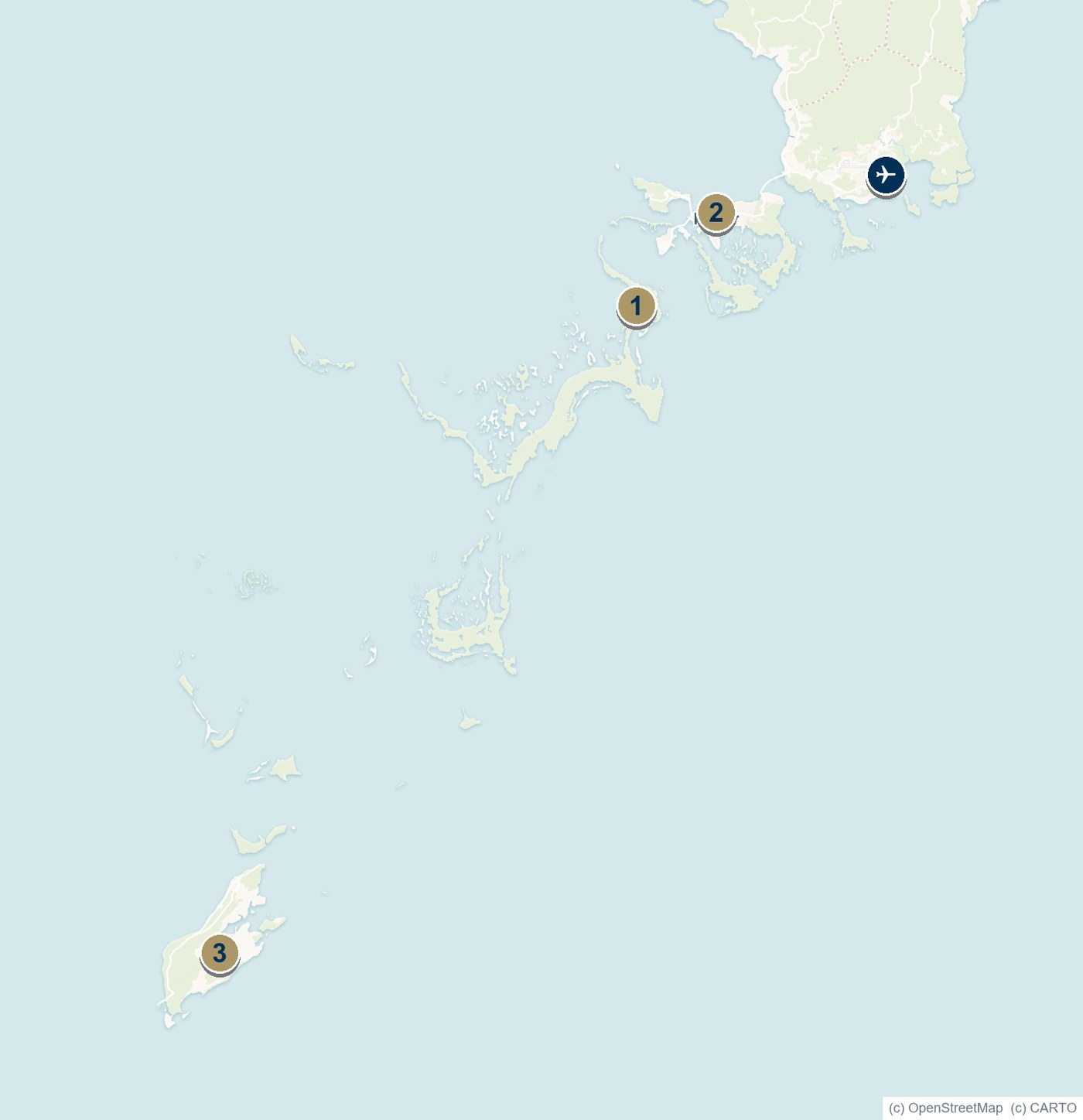
Map Key - Ports & Islands
- Malakal Harbour (Koror); VHF 16
- Rock Islands
- Peleliu
✈ Roman Tmetuchl International Airport
Do not rely on GPS for entry. The Toagel Mlungi pass is daylight-only.
Getting There & Clearance
Clearance
Clearance is handled by the immigration and customs authorities and the Palau Maritime Authority. The port of entry is Malakal Harbour at Koror (VHF 16). The Toagel Mlungi pass should be transited in daylight only, and GPS should not be relied upon for entry.
Government Contacts
Government: palaugov.org
Maritime Authority: palaureg.com
International Airports
Roman Tmetuchl International Airport (Palau International).
Key Anchorages
Malakal Harbour (Koror) · the Rock Islands · Peleliu.
Local Services
Aviation Logistics
Airai Air · Eco Blue Pacific
Tours & Diving
Sam's Tours
Yacht Clubs
Royal Belau Yacht Club
Cruising
The Rock Islands lagoon
Diving
Giant clams, sharks & WWII wrecks
Ashore
Koror · Peleliu battlefields